Ready? Set! Save 15%!
RoadBotics is offering any first time clients a 15% discount on our services. Fill out the form to get started. A RoadBotics Specialist will be intouch to guide you through our products & answer any questions.
In the meantime, get familiar with what we do!

Objective
Hard data about your public infrastructure condition

Efficient
Affordable assessments and better data stretch your budget further

Actionable
RoadWay helps you visualize, plan, and execute
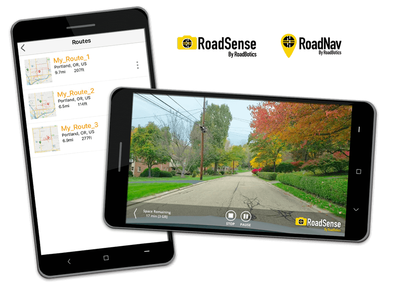
Integrate Field Apps on a Cloud-Based System
RoadWay seamlessly integrates apps used to collect data while out in the field with cloud-based storage of your GIS data.
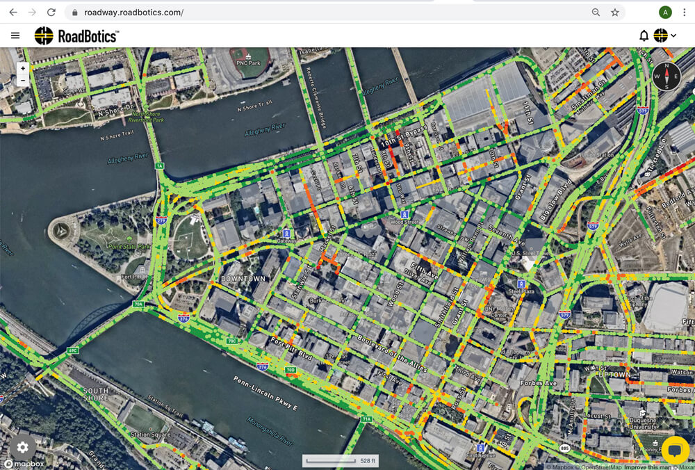
Simple Interface for Actionable Road Data
We have simplified the complexity of GIS into a single software platform to view all your road data quickly and easily so you can get to work faster.
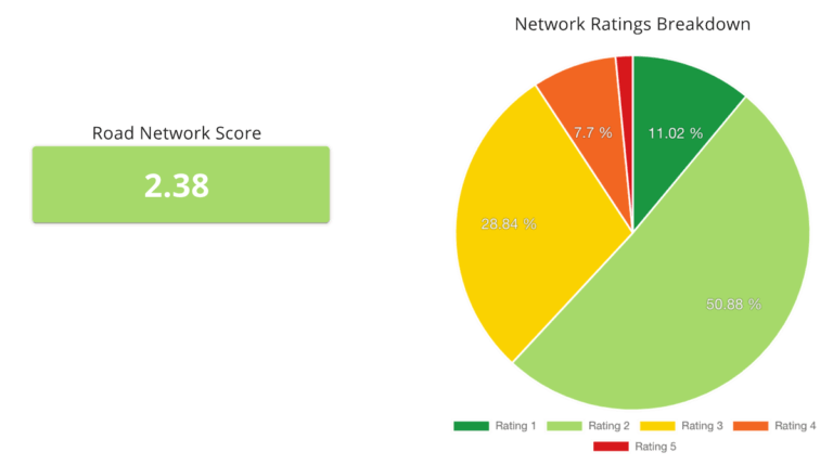
Powerful Analytics and Reporting
Having data is great, but communicating it is critical. With RoadWay, you can seamlessly view historical trends and the current road network status all in one place.

Secure Online Storage
We know that your job is not to manage terabytes of image data and road data.
We make cloud storage simple so you can concentrate on your road network.

Superior Client Support

Secure Data Storage

Easy Integrations

Planning Tools
NEW!
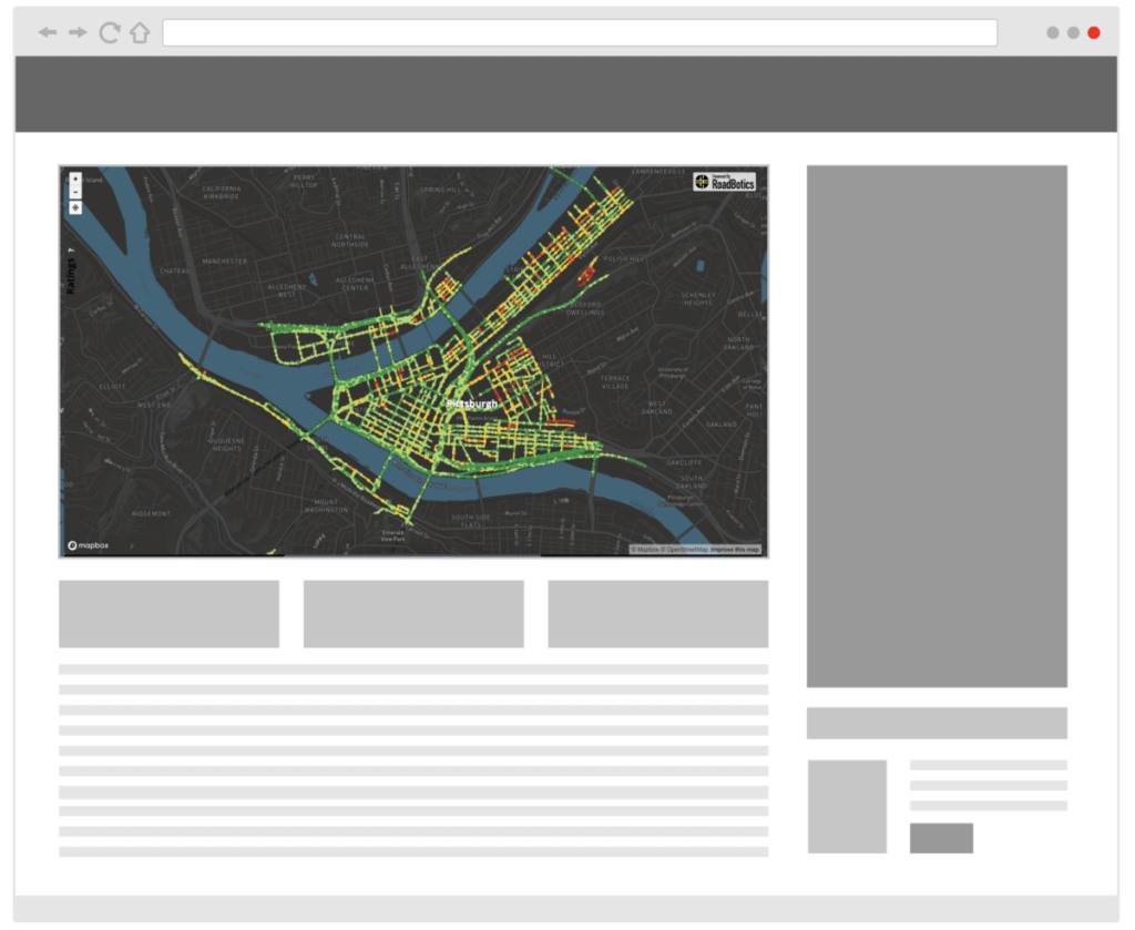

Embedded Maps
Share your assessment, ratings, and images with others using the Embedded Maps option. Your interactive RoadWay map can be embedded onto another web page using automatically generated code, so it can be easily accessed by community members or stakeholders.
