


Will we see you on the road in 2024?
Meeting new people at events is one of our favorite activities. Join us as we reflect on last year’s events, while getting excited for the road ahead!

Beyond Slippery Roads: The Hidden Cost of Winter Deicing
While road deicers like salt play a crucial role in keeping roads safe, their impact extends far beyond the pavement.

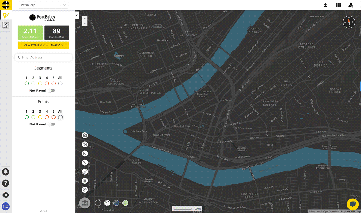
Practical Applications of Artificial Intelligence and Machine Learning for Better Road Maintenance
Why should you trust artificial intelligence to rate your roads? Our Principal Data Scientist, Anshul, shares his thoughts.

